Click Here to view Map Legend
Adams Creek Wildlife Management Unit (440)
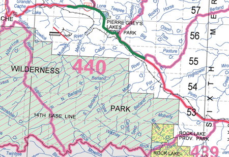
Commencing where Rock Creek crosses the northern boundary of Jasper National Park; thence westerly along the northern boundary of Jasper National Park to the headwaters of the South Sulphur River; thence downstream along the right bank of the South Sulphur River to the right bank of the Sulphur River; thence downstream along the right bank of the Sulphur River to the right bank of the Smoky River; thence downstream along the right bank of the Smoky River to highway 40; thence easterly and southeasterly along highway 40 to the right bank of the Wildhay River; thence upstream along the right bank of the Wildhay River to the right bank of Rock Creek; thence upstream along the right bank of Rock Creek to Rock Lake in section 5, township 52, range 2, west of the sixth meridian; thence southwesterly along the eastern bank of Rock Lake to the right bank of Rock Creek in section 6, township 52, range 2, west of the sixth meridian; thence upstream along the right bank of Rock Creek to the point of commencement.